
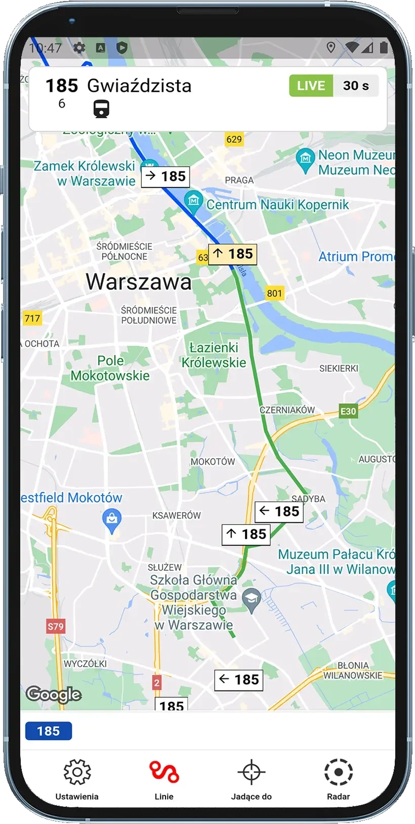
From the operator's official system. Vehicle positions and timetables come from the open data of Rome's public transport (ATAC / Roma Mobilità). BusLive shows exactly the data it receives; if a vehicle's transmitter is not sending positions, the vehicle will not appear on the map.
What BusLive shows in Rome
- ATAC Roma buses and trams on the map in real time, positioned from on-board GPS transmitters
- Virtual stop boards with actual departure times and delays
- Radar mode: every vehicle around a chosen spot
- “To destination” filter: only vehicles heading your way
- Favourite lines and vehicle details (model, equipment, low floor) where the operator provides them
Where the data comes from
Vehicle positions and timetables come from the open data of Rome's public transport (ATAC / Roma Mobilità). Operator: ATAC Roma.
Read more about data sources for all cities on the data sources page.
Frequently asked questions
As often as the GPS transmitter in the vehicle sends data to the operator's system. In practice positions update every 20-30 seconds, much like electronic stop boards.
On Android there is a free version with ads and a paid ad-free version; both have every feature. On iOS the app is paid. There is no subscription and no hidden fees.
Other cities
- Warsaw
- Kraków
- Wrocław
- Gdańsk
- Poznań
- Łódź
- Szczecin
- Katowice and the GZM Metropolis
- Białystok
- Rzeszów
- Opole
- Kielce
- Piła
- Zielona Góra
Abroad: Rome, Málaga, Prague, Lisbon, Zagreb. See all supported cities.