
Mobile application

BusLive

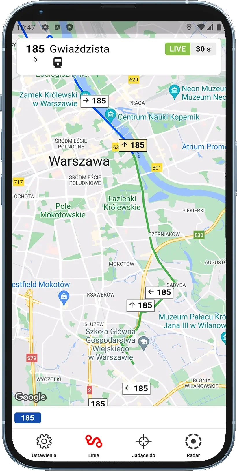
Buses and trams live on the map

Over 1,000,000 downloads

QR code: get BusLive on your phone

On a computer? Scan the code with your phone's camera and we'll open the right store.

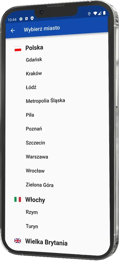
App screenshot

App Features

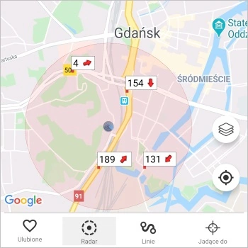
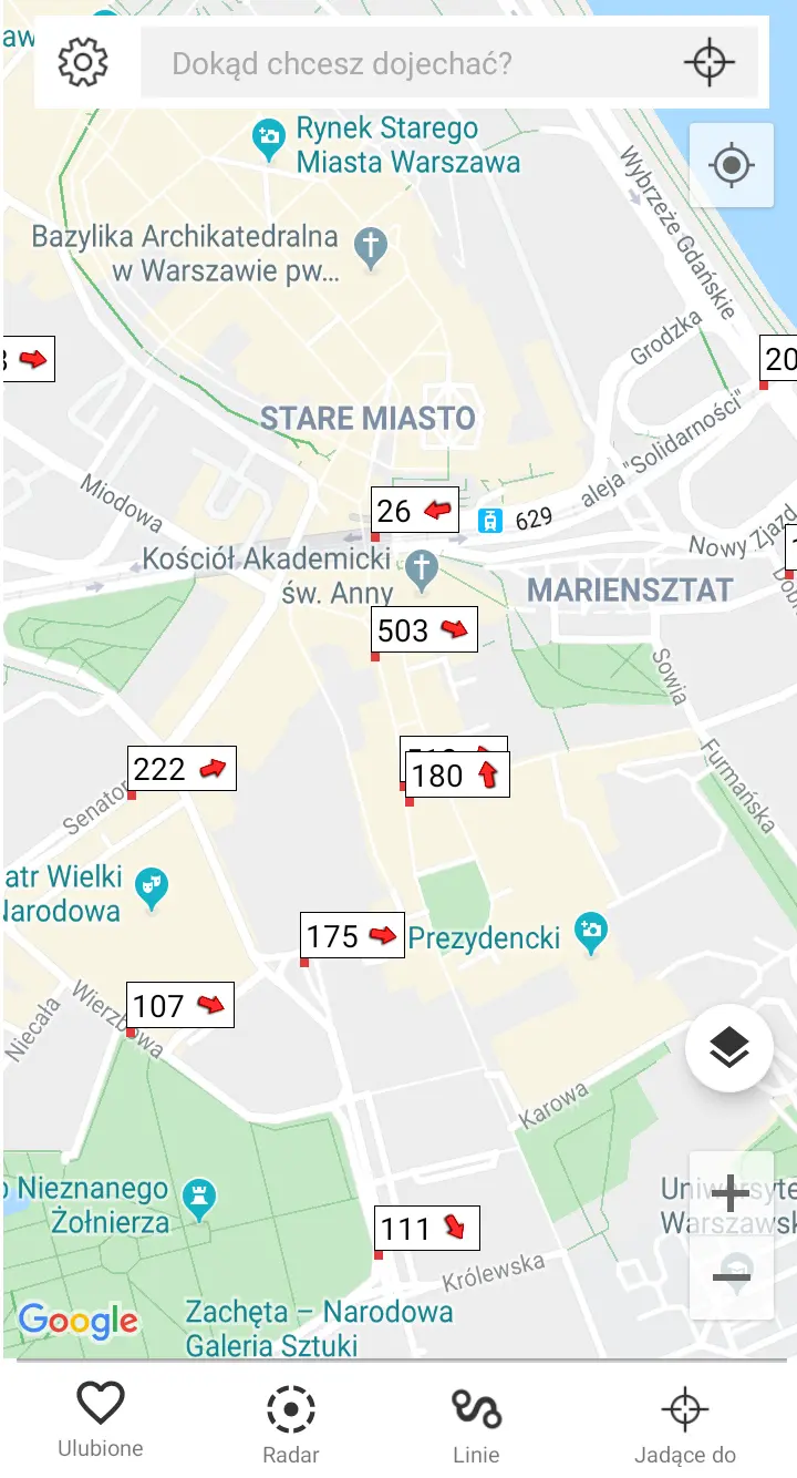
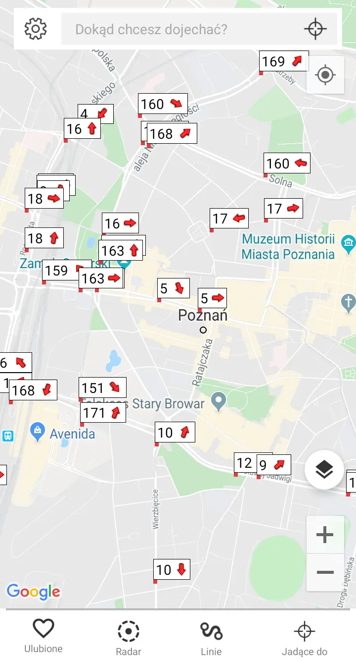
Radar feature

Radar

Find all vehicles around a specified location. This allows you to quickly assess what's coming and when, helping you decide whether to board one vehicle or wait for another. Easily determine if you'll make your connection according to the planned schedule.

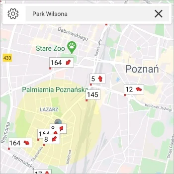
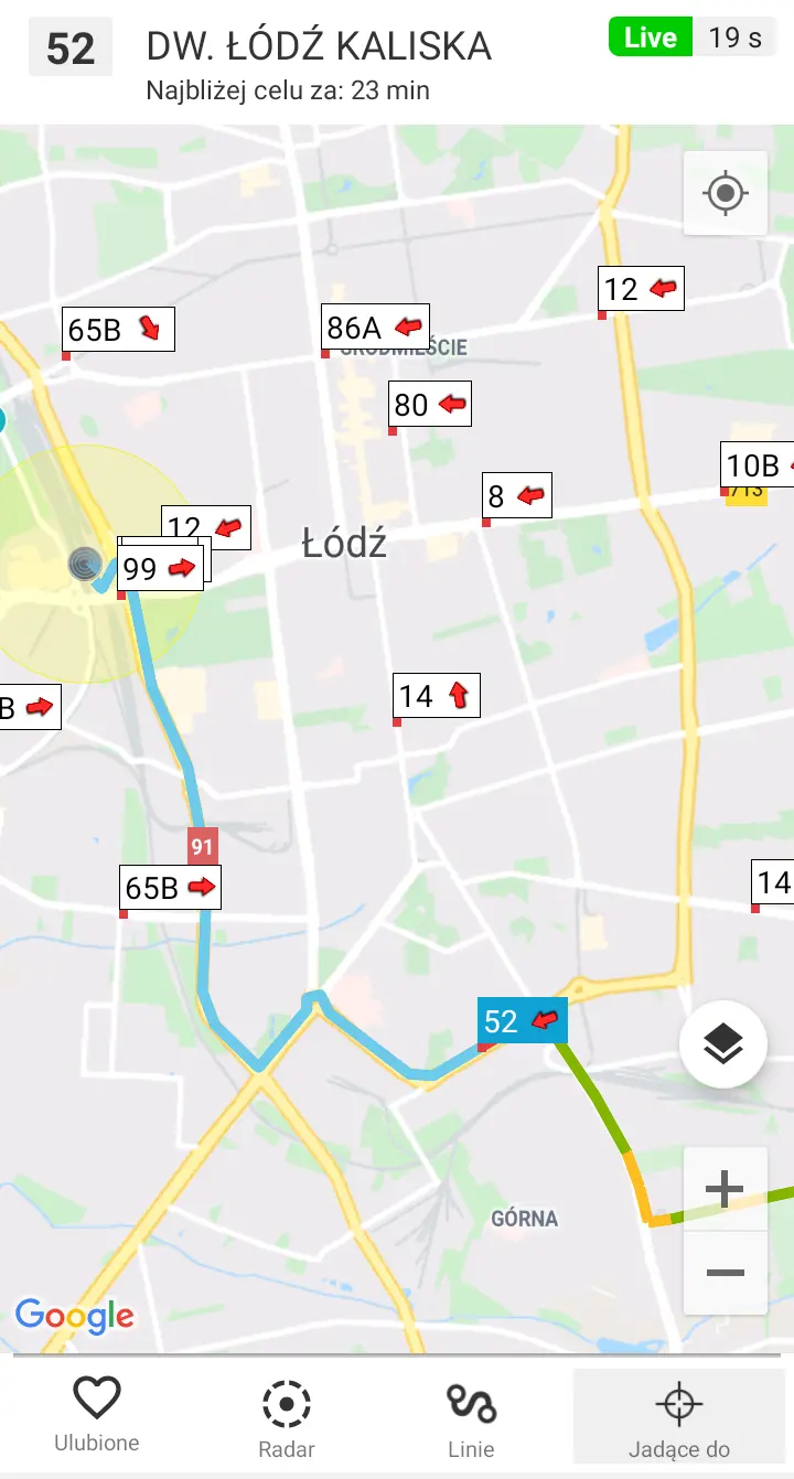
Target feature

To Destination

You can filter the buses and trams visible on the map to only show those heading in your chosen direction. This way, you'll see all nearby vehicles that can take you to your destination.

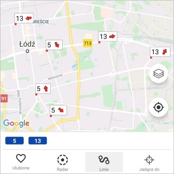
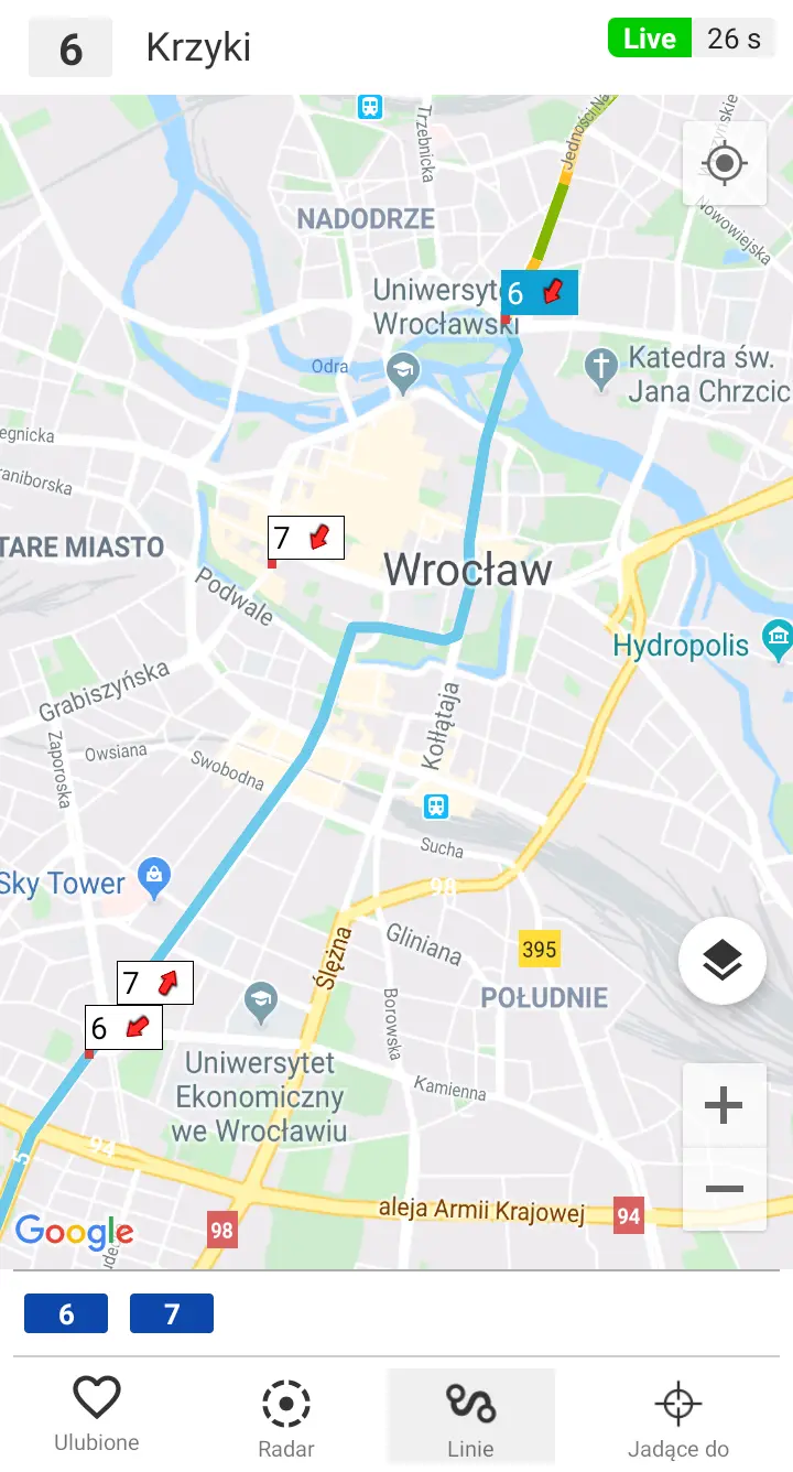
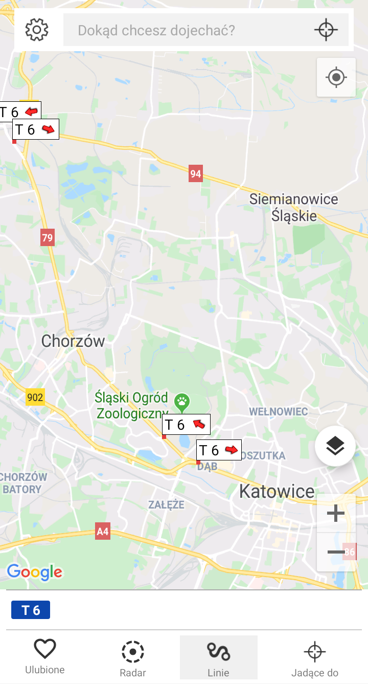
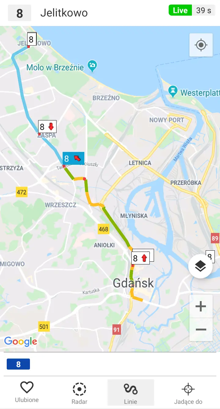
Selected lines feature - screenshot

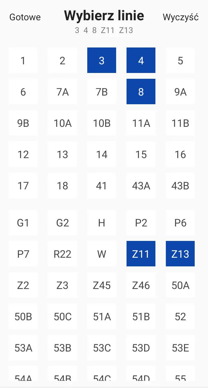
Selected Lines

Apply a filter with your favorite public transport lines. This ensures that only the vehicles you're interested in appear on the map.

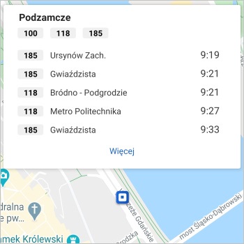
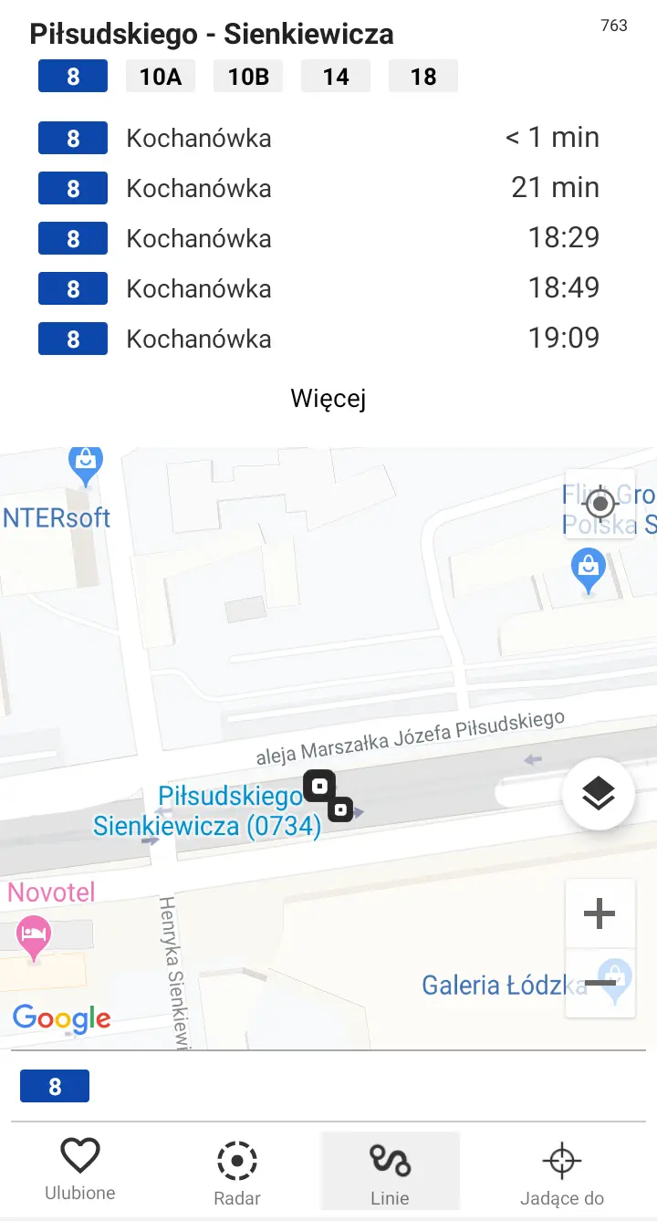
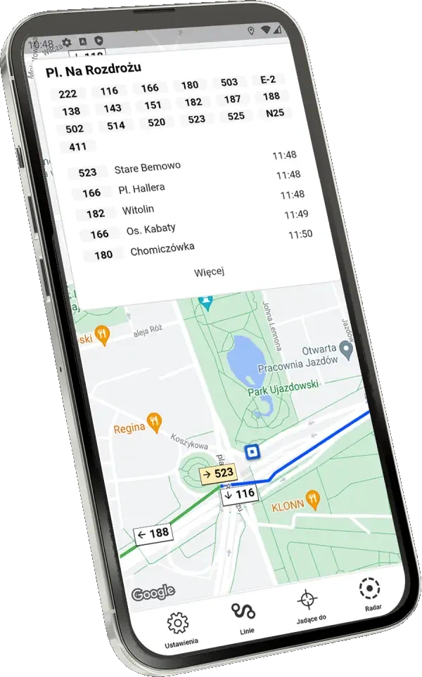
Stop board - screenshot

Stop Boards

Our timetables account for current delays and are equivalent to the electronic displays showing departure times at stops.

Why BusLive?

Journey planners tell you how to get there. BusLive shows you where your bus or tram really is.

  • Every vehicle on the map

    Not just a route from A to B: you see every bus and tram in the city, with GPS positions refreshed every 20–30 seconds.

  • Timetables that know about traffic

    Departure times include current delays, and our own algorithm compares each trip with earlier runs at the same time of day.

  • Radar and “To Destination”

    With one tap, see what's moving around you, or keep only the vehicles that will take you where you're going.

  • Light and fast

    A native app for Android and iOS that runs smoothly even on older phones. Data comes straight from city transport operators.

See our application

Screenshot 1
Screenshot 2
Screenshot 3
Screenshot 4
Screenshot 5
Screenshot 6
Screenshot 7
Screenshot 8

What users say

  • The best app ever created! Accurate, detailed, and most importantly, makes it easy to navigate around the city! Thank you!!!

    Marta Tomecka
  • Now I know where the bus is! It really works! HIGHLY RECOMMENDED

    Stillcraft TV
  • I highly recommend this app to anyone who uses public transport. Clean interface, ease of use, and accuracy on the map!!

    Ewelina Pajor
  • Very nice application, definitely makes life easier in a big city with traffic jams.

    Oliwia Kacprzyk

FAQ

BusLive shows exactly the positions the operator's system sends. If a vehicle's GPS transmitter is off or the operator's system has an outage, the vehicle temporarily disappears from the map. It usually comes back as soon as the data starts flowing again.

We update the position on your phone as often as the vehicle's transmitter sends data to the operator's system. In practice that's every 20–30 seconds, the same as the electronic displays at stops.

We'd love to, as long as the city or the operator shares vehicle position data. Integration with BusLive is simple and completely free for the city. You can help: show the app to your local operator or write to us at info@buslive.pl. And if the vehicles don't have GPS yet, we'll find a way too 🙂

Download the app

Choose your platform

QR code: get BusLive on your phone

On a computer? Scan the code with your phone's camera and we'll open the right store.